

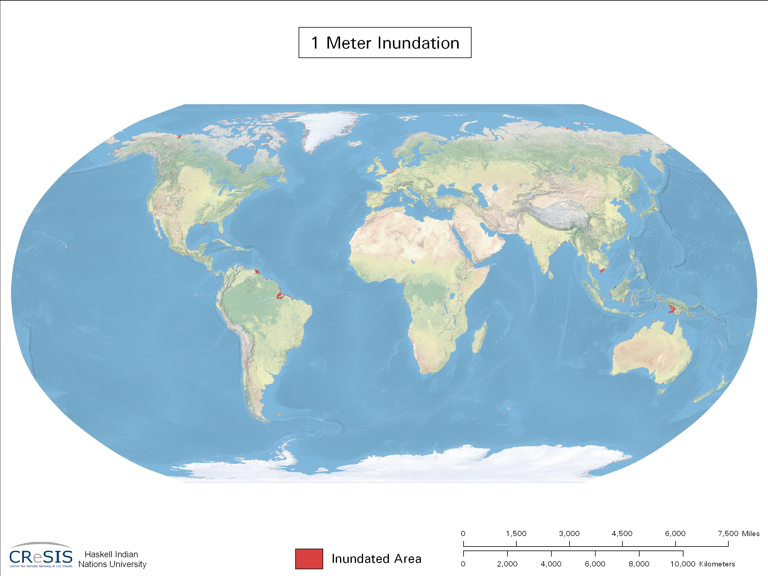
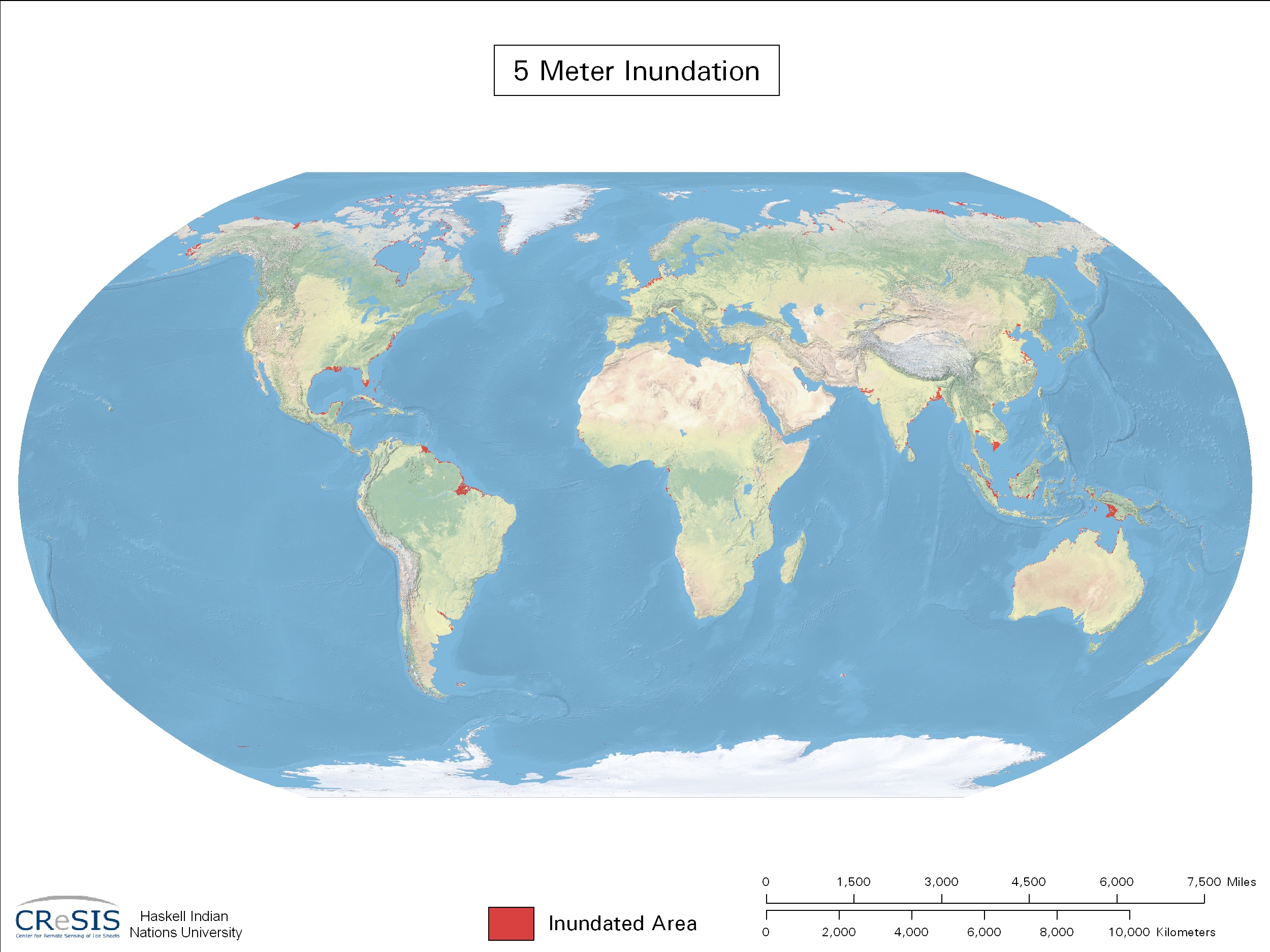
Sea Level Rise Maps and GIS Data > The World
| Maps & GIS Data | ||||||
| Sea Level Rise Increments (meters) | Formats | |||||
| JPG | GIS Layers (ESRI grid) |
QuickTime Movie | ||||
| 1 | download |  |
||||
| 2 | download | |||||
| 3 | download | |||||
| 4 | download | |||||
| 5 | download | |||||
| 6 | download | |||||
NOTE: to save images, right-click "view", select " Save link as..."